Live Tracking
See exactly where your bus or train is, updated continuously — not a fixed-interval guess.
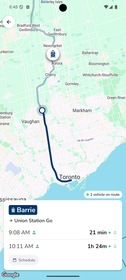
Track a specific vehicle
Tap any departure to see that specific bus or train's live position on the map, so you know precisely how far away it is and when to head out — instead of guessing from a printed schedule.
Where the data comes from
Positions and arrival estimates come directly from each transit agency's real-time GPS feed. When a vehicle is actively broadcasting its location, CityTransit shows it live; when it isn't, arrival times fall back to the agency's published schedule instead of showing nothing.
Track a whole route
Open the Routes tab and pick a route to see every active vehicle on it at once, not just the one closest to you.